
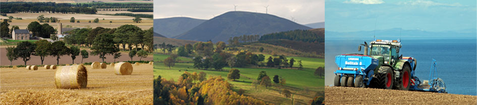
GIS/MAPPING
We can provide a comprehensive GIS/digital mapping service to clients, from creation and management of data, to complex data analysis and high quality presentational output.
We offer a wide range of services including:-
- Data Management
- GIS Analysis
- Map Production
- Thematic Mapping
- Landscape Visualisation
For further information on our GIS/Mapping service please email Caroline Cook, GIS Co-ordinator or phone her on 01343 610813 or visit our new survey website on www.bowlts-surveys.com.
WESTER BROCKLOCH STEADINGS
Rafford, Forres
A unique opportunity to acquire a set of traditional farm buildings with Full Planning Permission in place for a single residential unit, set in a peaceful location yet with easy access to local amenities.
A substantial site extending to 4.67 hectares (11.54 acres) or thereby.
RURAL PRACTICE CHARTERED SURVEYOR AND TRAINEE CHARTERED SURVEYOR POSITIONS
Due to an increasing workload, we are looking to expand our rural practice department. Our office is based at Pluscarden, near Elgin, Moray. We currently have a staff of 15 and our core activity is property consultancy and rural estate management.
We are currently accepting applications for both a Rural Practice Chartered Surveyor as well as a Trainee Chartered Surveyor.
The successful applicants will join our rural practice team, which consists of four fully qualified land agents. Both positions are full-time, working Monday to Friday, and salary will be negotiable depending on experience.
If you would like to apply for either position, please email your CV and covering letter to mandy@bowlts.com.
2023/24 GRADUATE SCHEME NOW OPEN
 We are delighted to announce that our 2023/24 Rural Graduate Scheme is now open for applications. We welcome applications from graduates studyin Full Story...
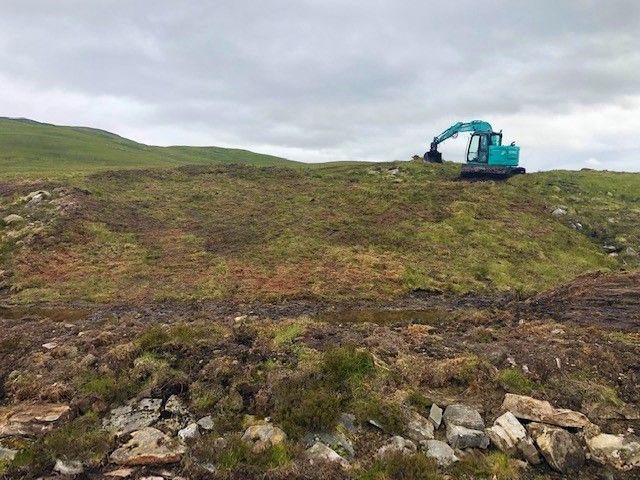 The Scottish government has recently reopened the Peatland Action Scheme for applications in 2021.
The Peatland Action Scheme is a multi-million po Full Story...
The Scottish government has recently reopened the Peatland Action Scheme for applications in 2021.
The Peatland Action Scheme is a multi-million po Full Story...